
User Tools
Sidebar
This is an old revision of the document!
Table of Contents
Lake Whatcom
Largest of Bellingham lakes, can be good for flatwater and occasional downwind paddles (safer than the Bay if the Bay is too rough, but take care with very cold water in winter). Flatwater paddling is better at the edges of the day in summer or during the off season when there is not as much motorized traffic on the lake.
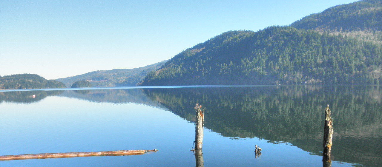
Photo: Wikipedia user Tomseattle
Downwinding
Reivers Dustin “Lake (Whatcom) is nice: fresh water, good safety, less cross-chop, waves never get mean. But I've been on the lake in big air when the waves never really got surfable. So it's a direction thing as well as wind velocity….”. Check the direction of the waves at your take-out to get a good indication of whether they are working in the way/direction you want.
Can get decent downwind waves when wind is blowing in longer fetch directions - from the east or southeast being some of the better setups. There is less likelihood of motorized traffic on the lake in downwinding conditions.
- L. Whatcom Southerly Boat Launch to L. Whatcom Park Trailhead - approx. 4 miles
- L. Whatcom Southerly Boat Launch to Bloedel Donovan Park - 9.0-9.5 miles (second half bends from going north to going northwest so you may want some significant E component in the wind)
- L. Whatcom Park Trailhead to Bloedel Donovan Park - approx. 6 miles - E may be a better wind for this section but sometimes SE can work. Check the wave direction at Bloedel Donovan Park to insure waves are working the way you want.
- Lk.Whatcom Downwind Reports
Lk Whatcom Downwind Southerly Boat Launch to Bloedel Donovan 12/18/2020
Wind
- If you don't want to deal with a lot of beam waves and you are thinking about paddling to/from Bloedel Donovan Park - check the direction of the waves there. If the waves are in line with that section of the lake and the wind is forecast to remain the same then chances are the waves will continue to line up for you in the lake between Reveille Island and the park.
- Wind gauge near Smith Creek this location is a bit protected and will probably be showing wind speed that is somewhat less than the wind on the lake.
- Tempest Weather Stations
- These are home gauges and will generally clearly underreport actual wind on lake. If you watch them over time you might be able to come up with an extrapolation factor for some wind directions and relative strength of actual wind on the lake for those directions.
- North Shore Rd North Shore Rd. about half way between Agate Bay and Smith Creek
Launches
- Bloedel Donovan Park relatively large (for Bellingham) park and parking area. Leave the lower parking available for boat trailers in the busy season. You can stop temporarily in the lower area to unload your boat, then park above. Site of the Wednesday night races during warmer months.
- Lake Whatcom Park Trailhead, map - there is a small parking area close to the water
- Sudden Valley Marina - As of 2020 Sudden Valley Community Association members can get small boat launch access for $22/yr and non-members pay $44/yr.
- AM/PM Beaches, Sudden Valley - small beaches belonging to Sudden Valley sometimes used for downwinding launch with S/SE winds. On the SW side of lake across the lake from Lake Whatcom park trailhead.
- Lake Whatcom Southerly Boat Launch (Wa. Fish & Wildlife) Need Discover Pass to Park
- Western Washington University's Lakewood Facility (For students, alumni, faculty/staff) - you can also purchase seasonal access pass if you participate in senior education program at Western.
Video


